Use raster data
Foundry enables large-scale processing of raster data in a first-class manner with media sets. File-level transforms are also supported for custom image pre-processing, or for processing any file formats not currently supported by media sets.
Learn more about the different types of geospatial data.
Data formats and sources
Supported media set raster file formats:
- TIFF / GeoTIFF
- NITF
- JPEG2000
Other raster file formats that can only be processed at a file level:
- PNG
- JPEG
Use raster data with media sets
-
Import supported raster file formats as media sets. You can either create a new media set via data connection or local machine uploads. Learn the different ways to import media.
-
Once imported, you can leverage the media set via media references. Select the media references via Pipeline Builder or via Transforms.
-
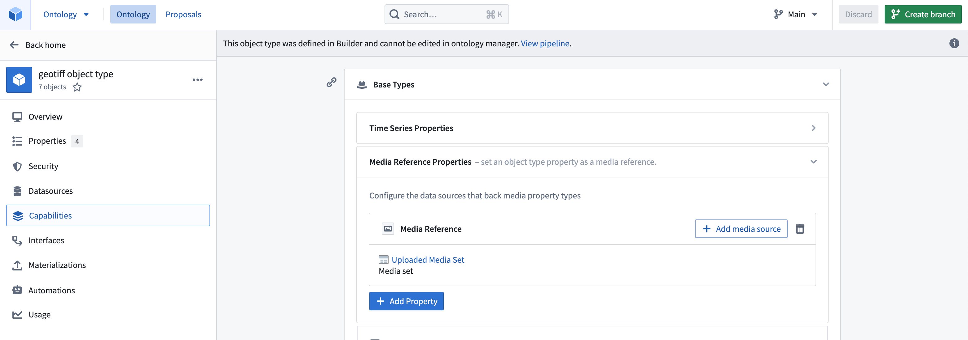
Create an object type in the Ontology, etiher as a pipeline output within Pipeline Builder or as a direct creation in the Ontology Manager. Ensure that the object type has the media reference property as a media reference type and that you have declared the backing media set in Capabilities so that the platform knows where and how to reference your media items.


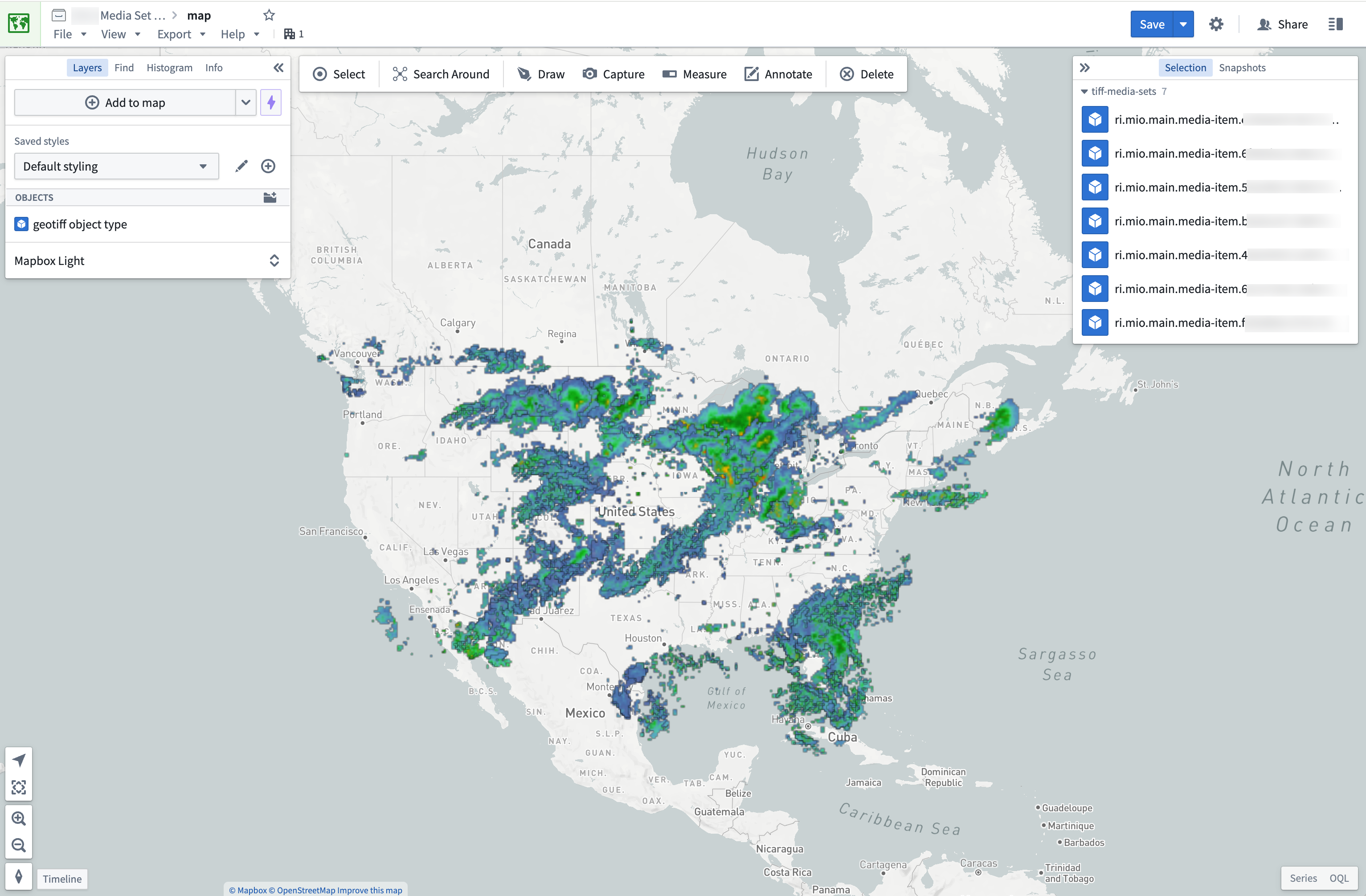
Once you have an object type you can import it into the Map application to view it. Displaying raster files greater than 67 megabytes (MB) on maps is not supported.

Use raster data in transforms
For raster file types not currently supported by media sets, you can still process them in transforms. You can view the recommended libraries and code examples in the section below.
Transforms are also ideal for pre-processing supported media set file types. For example, you can use transforms to update the size of your images using MediaSetInput and output a media set with MediaSetOutput like the example below. Learn more on how to write media set batch pipelines.
Copied!1 2 3 4 5 6 7 8from transforms.api import transform from transforms.mediasets import MediaSetInput, MediaSetOutput @transform( images=MediaSetInput('/examples/images'), output_images=MediaSetOutput('/examples/output_images') ) def translate_images(images, output_images): ...
Recommended Python libraries
There are several common open-source libraries that work well in Foundry for processing raster data, including:
Code examples
Open a GeoTIFF File from a dataset using Rasterio
Copied!1 2 3 4 5 6 7 8 9 10 11 12 13 14 15 16 17 18 19 20 21 22 23 24from transforms.api import transform, Input, Output, FileSystem import rasterio import tempfile import shutil import math @transform( output=Output("OUTPUT_DATASET"), my_input=Input("INPUT_DATASET"), ) def my_compute_function(output, my_input): def process_file(file_status): # use temp file to download file so Image can open correctly with tempfile.NamedTemporaryFile() as tmp: with my_input.filesystem().open(file_status.path, 'rb') as f: shutil.copyfileobj(f, tmp) tmp.flush() # open the file with rasterio with rasterio.open(tmp.name, driver='GTiff') as dataset: """ fill in rasterio logic """ files = list(my_input.filesystem().ls()) map(process_file, files) return