9 - Geospatial Search: Navigate to Coordinates
This content is also available at learn.palantir.com ↗ and is presented here for accessibility purposes.
📖 Task Introduction
The previous exercise showed you how to search for, filter, and visualize geospatially-enabled objects in the Foundry Map using the object search window. As the next two tasks will demonstrate, you can also draw map features to constrain your object search.
🔨 Task Instructions
-
Delete all object layer(s) from your map (as shown in the previous exercise).
-
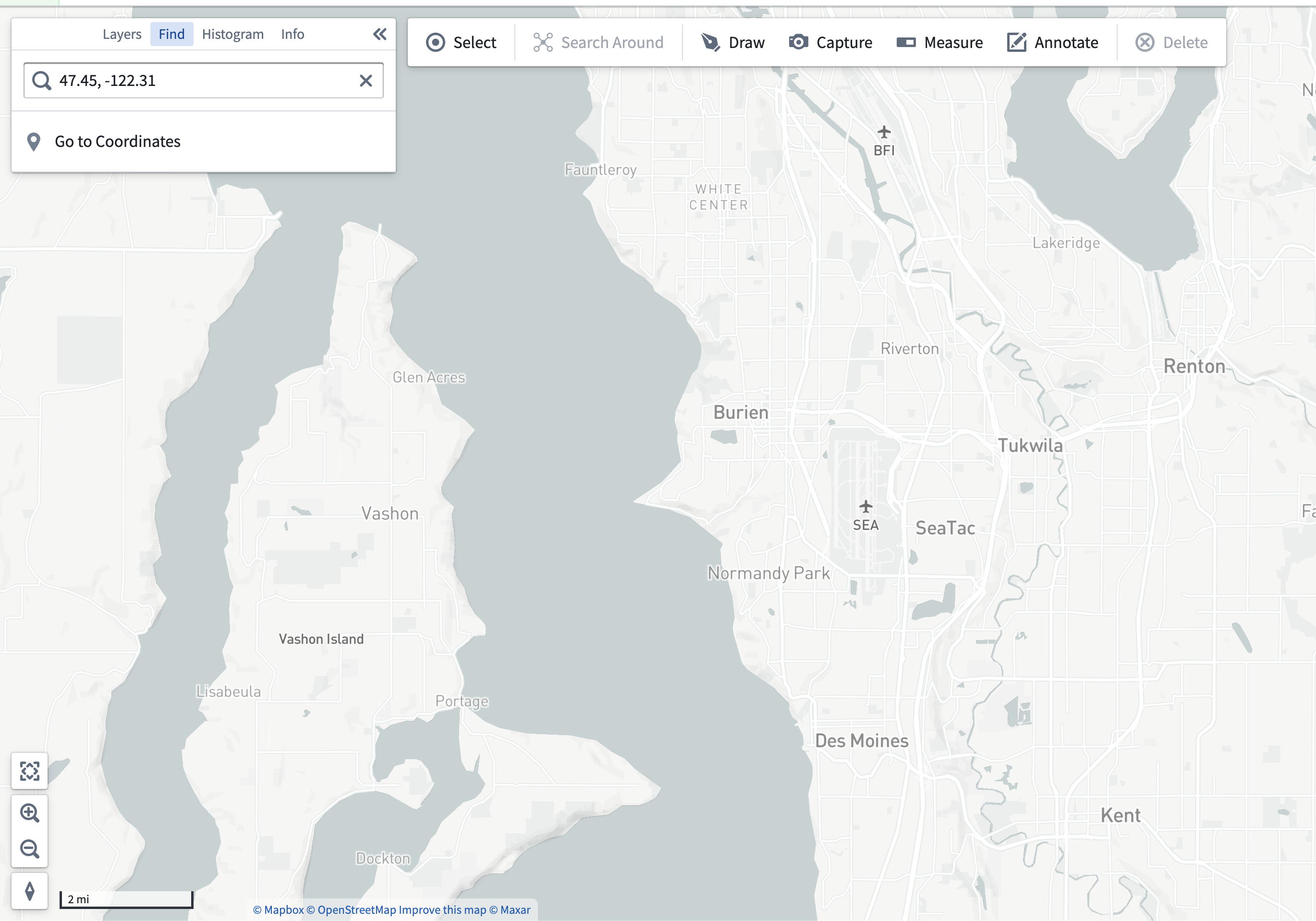
Select the Find panel (next to Histogram) and copy the SEA airport coordinates into the search field:
47.45, -122.31 -
Click Go to Coordinates. You're now focused in on the SEA airport.
-
Zoom out a few levels so that the surrounding area is also visible as shown below.
If you're unable to locate SEA using the coordinate search above, you can also manually navigate to the location on the map.