18 - Reviewing Ontology Geospatial Data
This content is also available at learn.palantir.com ↗ and is presented here for accessibility purposes.
Ontology-aware applications like Quiver, Object Explorer, the Foundry Map, and Workshop can display geospatial data if the associated object properties are properly configured in the Ontology Manager. As noted in the documentation, geospatial Ontology properties you wish to represent on a map must either be set as geohash or geoshape property types.
In this task, we’ll review some of the ways geospatial data appears in tabular data by opening the Ontology Manager to view the configuration and see one way Ontology geospatial data is visualized.
⚠️ Depending on how your Foundry administrators configure permissions at your organization, you may not have access to the Ontology Manager, in which case you can skip these steps and click Next to proceed with the rest of the tutorial.
🔨 Task Instructions
- Open the Ontology Manager by clicking on the icon in the workspace sidebar.
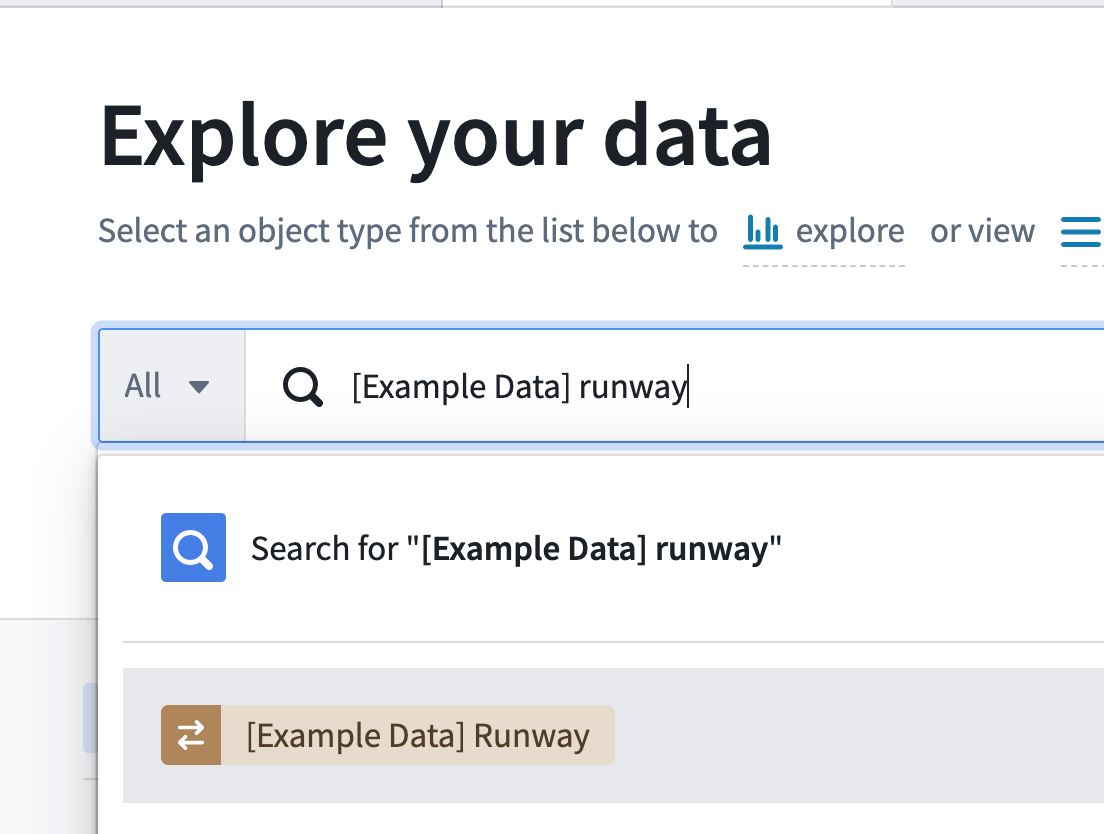
- Search for the
[Example Data] Runwayobject type. When it returns, click on the Properties menu item on the left side of the screen to show the property configuration as shown in the image below.

Observe that one of our colleagues has configured the following mappings from the tabular backing dataset to the Ontology object type:
| Column | Property | Type |
|---|---|---|
| Geohash | Airport Geohash | Geohash |
| line_geojson | Center Line | Geoshape |
- Open Object Explorer, search for the
[Example Data] Runwayobject type, and click the result from the list as shown below.
- Scroll to the bottom of the default widget display and click ⊕ Add chart.
- From the list of available properties, choose
Airport Geohash.
The Object Explorer view automatically detects the geohash property and maps the airports in a cluster arrangement.